DESTINATIONS
Ngorongoro Conservation
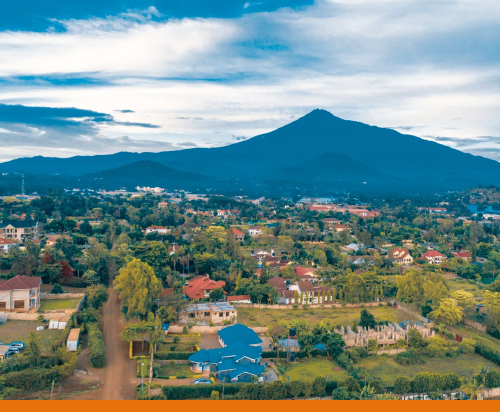
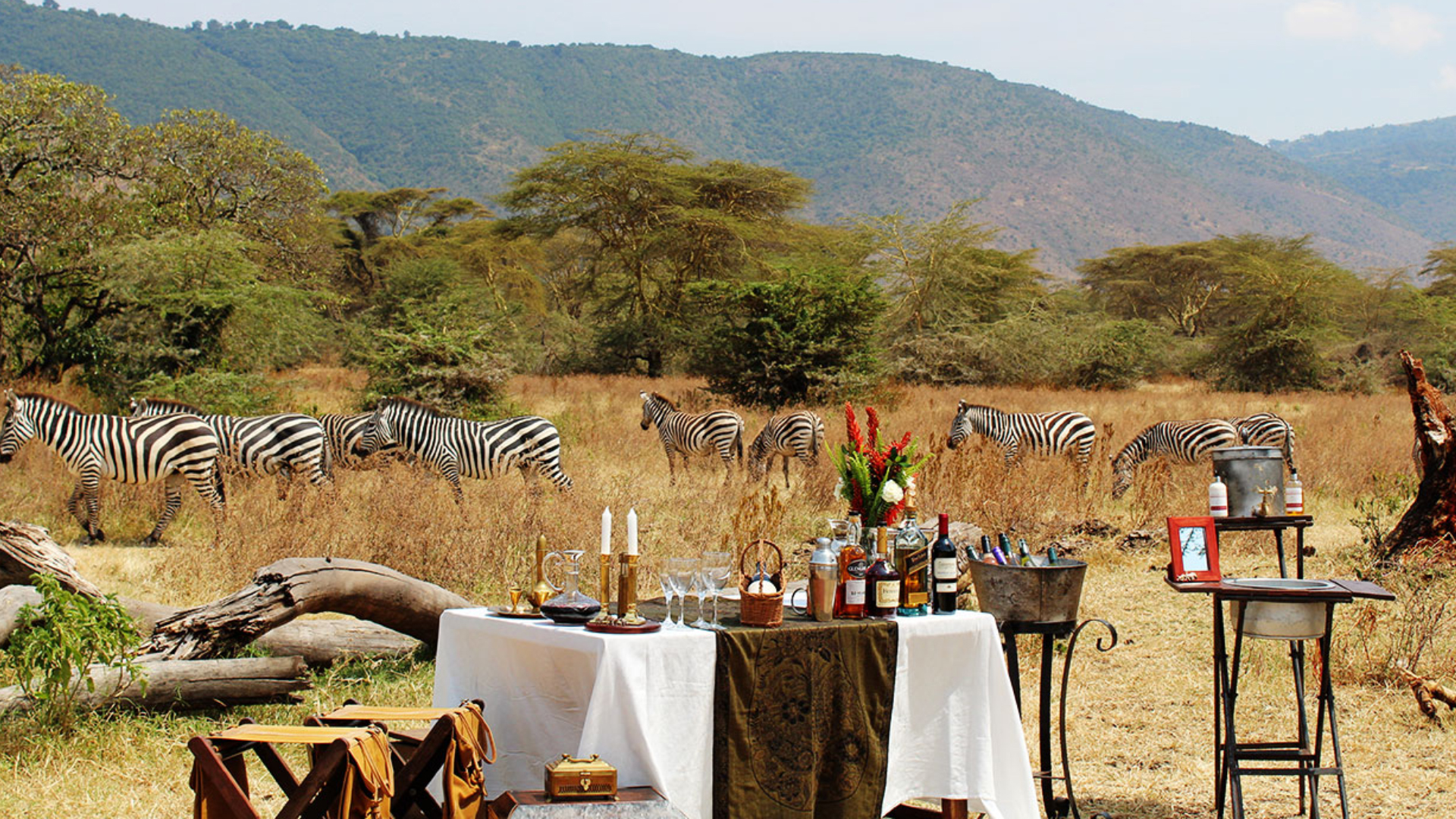
The Ngorongoro Conservation Area is a protected area in Ngorongoro District, 180 km (110 mi) west of Arusha City in Arusha Region, within the Crater Highlands geological area of northern Tanzania. The area is named after Ngorongoro Crater, a large volcanic caldera within the area. The conservation area is administered by the Ngorongoro Conservation Area Authority, an arm of the Tanzanian government, and its boundaries follow the boundary of the Ngorongoro District in Arusha Region. The western portion of the park abuts the Serengeti National Park (also a UNESCO World Heritage Site), and the area comprising the two parks and Kenya's Maasai Mara game reserve is home to Great Migration, a massive annual migration of millions of wildebeest, zebras, gazelles, and other animals. The conservation area also contains Olduvai Gorge, one of the most important paleoanthropological sites in the world.The 2009 Ngorongoro Wildlife Conservation Act placed new restrictions on human settlement and subsistence farming in the Crater, displacing Maasai pastoralists, most of whom had been relocated to Ngorongoro from their ancestral lands to the north when the British colonial government established Serengeti National Park in 1959
The main feature of the Ngorongoro Conservation Authority is the Ngorongoro Crater, the world's largest inactive, intact and unfilled volcanic caldera. The crater, which formed when a large volcano exploded and collapsed on itself two to three million years ago, is 610 metres (2,000 feet) deep and its floor covers 260 square kilometres (100 square miles). Estimates of the height of the original volcano range from 4,500 to 5,800 metres (14,800 to 19,000 feet) high. The crater floor is 1,800 metres (5,900 feet) above sea level. The crater was voted by Seven Natural Wonders as one of the Seven Natural Wonders of Africa in Arusha, Tanzania, in February 2013. The Ngorongoro volcano was active from about 2.45 to 2 million years ago. The volcanic eruptions like that of Ngorongoro, which resulted in the formation of Ngorongoro Crater in Tanzania, were very common. Similar collapses occurred in the case of Olmoti and Empakaai, but they were much smaller in magnitude and impact.[citation needed] Out of the two recent volcanoes to the northeast of the Empakaai caldera, Kerimasi and Ol Doinyo Lengai, Doinyo Lengai is still active and had major eruptions in 2007 and 2008. Smaller ash eruptions and lava flows continue to slowly fill the current crater. Its name in Maasai means 'Mountain of God'. Lake Magadi The Munge Stream drains Olmoti Crater to the north, and is the main water source draining into the seasonal salt lake in the center of the crater. This lake is known by two names: Makat as the Maasai called it, meaning salt; and Magadi.[22] The Lerai Stream drains the humid forests to the south of the Crater, and it feeds the Lerai Forest on the crater floor - when there is enough rain, the Lerai drains into Lake Magadi as well. Extraction of water by lodges and Ngorongoro Conservation Area headquarters reduces the amount of water entering Lerai by around 25%. The other major water source in the crater is the Ngoitokitok Spring, near the eastern crater wall. There is a picnic site here open to tourists and a huge swamp fed by the spring, and the area is inhabited by hippopotamuses, elephants, lions and many others. Many other small springs can be found around the crater's floor, and these are important water supplies for the animals and local Maasai, especially during times of drought.[24] Masai were previously permitted to graze their cattle within the crater, but as of 2015 were restricted from doing so.
Popular Destinations Safaris In Tanzania
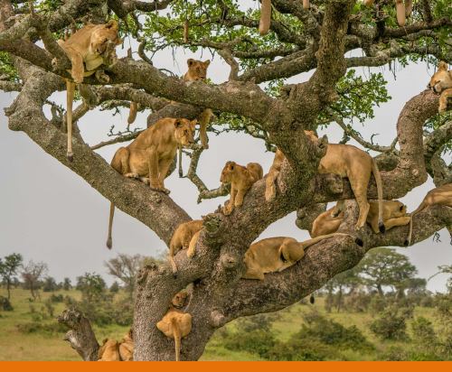
3 Day Safaris Tarangire National Park, Ngorongoro Crater, Lake Manyara National Park
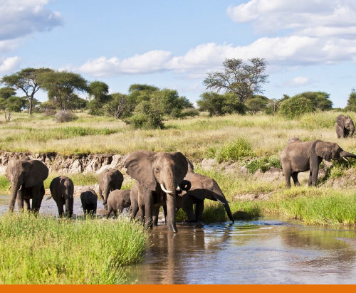
4 Day Safari Tarangire, Serengeti National Park, Ngorongoro Crater
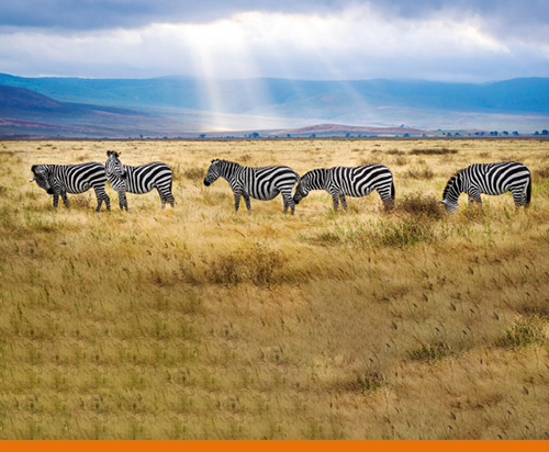
5 Day Safaris Tarangire, Serengeti National Park, Ngorongoro Crater. Lake Manyara
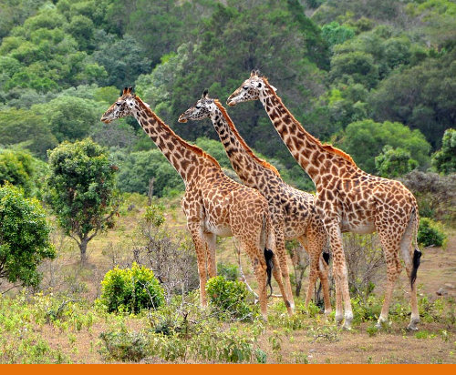
6 Day Safaris Tarangire, Serengeti National Park, Ngorongoro Crater. Lake Manyara
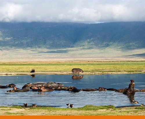
8 Day Safaris Tarangire National Park, Serengeti National Park, Ngorongoro Crater. Lake Manyara National Park, Lake Natron